GALLERIES


Magyar


COUNTRIES, CULTURES, HISTORY / Hungary / Landscapes / Cserehat
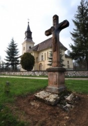
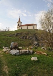

Cserehát is a geographical landscape situated in the northeast part of Hungary, from Szikszó to the north, between the Bódva and Hernád rivers. The northern part of Cserhát is part of Slovakia. The mostly small villages’ area consisting of 116 settlements in which altogether approximately one hundred thousand inhabitants live. Cserehát is one of Hungary’s most underdeveloped area. Because of high unemployment, low education, bad traffic, the incomplete social net, the regional unsettledness development follows the deficiency of the cooperation and the development experiences; practically the full Cserehát population is underprivileged. After all Roma population is there in the worst situation.


Galleries in this topic

Tornabarakony
An interconnecting road that starts from Komjáti (a settlement beside the motorway to Slovakia) takes us to Tornabarakony, via Tornaszentandrás. From other directions the village can be approached only by a longish walk of several kilometers. There is a road-sign indicating that we are driving on a Gothic road. At the end of the seven-kilometer long drive, leaving behind a forest, we arrive to a small village with an exceptional landscape. The road looks rather like a long umbilical cord at the end of which there is a quiet and peaceful out-of-the world place. There is no trace of any traffic, only a few elderly people look in our direction with no particular interest. They have got work to do: living their everyday lives, carrying out their work in a leisurely pace. And there is silence!
Landscapes of Cserehát
Landscapes of Cserehát; Cserehát is a geographical landscape situated in the northeast part of Hungary, from Szikszó to the north, between the Bódva and Hernád rivers. The northern part of Cserhát is part of Slovakia. The mostly small villages’ area consisting of 116 settlements in which altogether approximately one hundred thousand inhabitants live. Cserehát is one of Hungary’s most underdeveloped area. Because of high unemployment, low education, bad traffic, the incomplete social net, the regional unsettledness development follows the deficiency of the cooperation and the development experiences; practically the full Cserehát population is underprivileged. After all Roma population is there in the worst situation.
Perkupa Hunarian Village
Cserehát is a geographical landscape situated in the northeast part of Hungary, from Szikszó to the north, between the Bódva and Hernád rivers. The northern part of Cserhát is part of Slovakia. The mostly small villages’ area consisting of 116 settlements in which altogether approximately one hundred thousand inhabitants live. Cserehát is one of Hungary’s most underdeveloped area. Because of high unemployment, low education, bad traffic, the incomplete social net, the regional unsettledness development follows the deficiency of the cooperation and the development experiences; practically the full Cserehát population is underprivileged. After all Roma population is there in the worst situation.
Meszes
Meszes
Bódvarákó
Bódvarákó

Related topics

Tornabarakony
Perkupa Hunarian Village
Roman Catholic Church,| Tornaszentandrás
Bódvalenke
Landscapes of Cserehát
Rakaca Lake
Rakaca
Rakacaszend
Szalonna
Szendrő
Szögliget
Martonyi
Meszes
Tornaszentjakab
Bódvarákó
Bódvaszilas