GALLERIES
|
COUNTRIES, CULTURES, HISTORY / Hungary / Landscapes
|
|
|
|
|
|
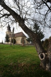
Rakaca
|
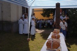
The settlement is located close to the basin of the valley of the Rakaca stream, on the territory of which was once Borsod-county. Rakaca inherited its Slavic name from a stream traversing the village, a stream that was land marked in the 1249 perambulation.By the first half of the 20th century the settlement was flourishing: it had its own Greek-Catholic public school, general practitioner and post office.Today Rakaca is inhabited by a larger gypsy population cut off from the outside world, deprived of any chances of employment, hoping for outside help to improve their living conditions. |
|
|
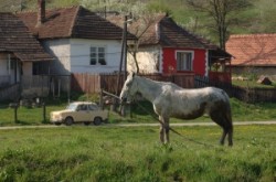
Perkupa Hunarian Village
|
CserehÃĄt is a geographical landscape situated in the northeast part of Hungary, from SzikszÃģ to the north, between the BÃģdva and HernÃĄd rivers. The northern part of CserhÃĄt is part of Slovakia.
The mostly small villagesâ area consisting of 116 settlements in which altogether approximately one hundred thousand inhabitants live.
CserehÃĄt is one of Hungaryâs most underdeveloped area. Because of high unemployment, low education, bad traffic, the incomplete social net, the regional unsettledness development follows the deficiency of the cooperation and the development experiences; practically the full CserehÃĄt population is underprivileged. After all Roma population is there in the worst situation.
|
|
|
|