|
|
|
|
|
COUNTRIES, CULTURES, HISTORY / Hungary / Landscapes / Cserehat
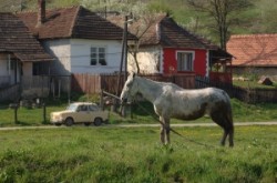
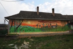
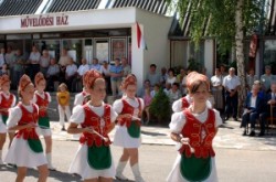
CserehÃĄt is a geographical landscape situated in the northeast part of Hungary, from SzikszÃģ to the north, between the BÃģdva and HernÃĄd rivers. The northern part of CserhÃĄt is part of Slovakia. The mostly small villagesâ area consisting of 116 settlements in which altogether approximately one hundred thousand inhabitants live. CserehÃĄt is one of Hungaryâs most underdeveloped area. Because of high unemployment, low education, bad traffic, the incomplete social net, the regional unsettledness development follows the deficiency of the cooperation and the development experiences; practically the full CserehÃĄt population is underprivileged. After all Roma population is there in the worst situation. |
Galleries in this topic
| |||||||
|
| ||||||
|
Related topics
TornabarakonyPerkupa Hunarian Village
Roman Catholic Church,| TornaszentandrÃĄs
BÃģdvalenke
Landscapes of CserehÃĄt
Rakaca Lake
Rakaca
Rakacaszend
Szalonna
SzendrÅ
SzÃķgliget
Martonyi
Meszes
Tornaszentjakab
BÃģdvarÃĄkÃģ
BÃģdvaszilas

